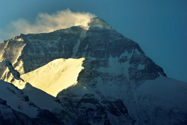
A river’s shift 89,000 years ago may have added up to 160 feet to Everest’s height through erosion and crust rebound, linking river dynamics to mountain formation in the Himalayas.
Mount Everest is astoundingly tall at 29,032 feet above sea level, besting its Himalayan neighbors by hundreds of feet.
But the world’s tallest peak is still growing, scientists say, thanks in part to the merger of two nearby river systems tens of thousands of years ago.
An estimated 50 to 160 feet of Everest’s current height can be attributed to that merger, researchers revealed in a study published Monday in the journal Nature Geoscience, which found that in recent years, the annual pace of growth has sped up to fractions of a millimeter.
“Even a feature as seemingly permanent as Mount Everest is subject to ongoing changes driven by various geological forces,” a co-author of the study, Dai Jingen, a geoscientist at China University of Geosciences in Beijing, said in an email Tuesday.
The mountain peak has been steadily gaining height along with the rest of the Himalayas since its birth about 45 million years ago from the collision of the tectonic plates beneath the Indian subcontinent and Eurasia.
But that didn’t fully explain how much Everest was growing. Researchers now say that when the Kosi River took over the Arun River about 89,000 years ago, it gave rise to a combined river of such immense power that it eroded large quantities of rock and soil from the Himalayan base nearly 50 miles away from Everest.
In a geological process known as isostatic rebound, the erosion reduced the weight of the region, allowing the rise of land masses on the Earth’s crust, its outermost layer that floats atop a mantle layer made of hot, semiliquid rock.
“Essentially, as the river carved away more rocks, the Earth’s crust rebounded, rising like a boat when weight is removed,” said Dai, adding that even though the river itself didn’t directly make Everest taller, the erosion and crust movement it caused contributed to the mountain’s elevation.


